
Orinda topographic map
Interactive map
Click on the map to display elevation.
About this map
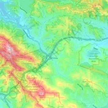
Name: Orinda topographic map, elevation, terrain.
Location: Orinda, Contra Costa County, California, USA (37.83887 -122.22526 37.92156 -122.13944)
Average elevation: 246 m
Minimum elevation: 88 m
Maximum elevation: 570 m