
Al Naseem Municipality topographic map
Interactive map
Click on the map to display elevation.
About this map
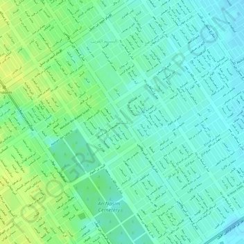
Name: Al Naseem Municipality topographic map, elevation, terrain.
Average elevation: 591 m
Minimum elevation: 583 m
Maximum elevation: 601 m
Other topographic maps
Click on a map to view its topography, its elevation and its terrain.
Al Naseem District Eastحي النسيم الشرقي
Al Naseem District Eastحي النسيم الشرقي, Al Naseem Municipality, النسيم, Provincia de Riad, Arabia Saudita
Average elevation: 583 m