
San Agustin topographic map
Interactive map
Click on the map to display elevation.
About this map
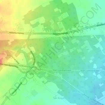
Name: San Agustin topographic map, elevation, terrain.
Location: San Agustin, Alaminos, Laguna, Calabarzon, 4001, Philippines (14.04354 121.25324 14.06991 121.27940)
Average elevation: 110 m
Minimum elevation: 81 m
Maximum elevation: 154 m
Other topographic maps
Click on a map to view its topography, its elevation and its terrain.