
Siderno topographic map
Interactive map
Click on the map to display elevation.
About this map
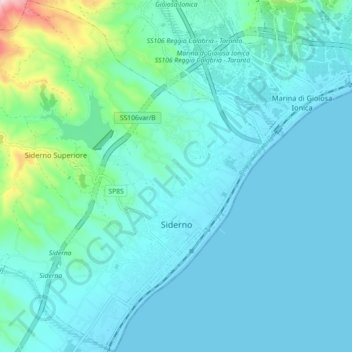
Name: Siderno topographic map, elevation, terrain.
Location: Siderno, RC, Calabria, 89048, Italy (38.25044 16.23700 38.32131 16.32089)
Average elevation: 54 m
Minimum elevation: 0 m
Maximum elevation: 405 m