
Thank you for supporting this site ❤️
Make a donation
Make a donation
Cape Coral topographic map
Click on the map to display elevation.
Thank you for supporting this site ❤️
Make a donation
Make a donation
About this map
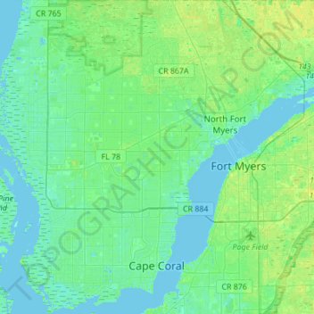
Name: Cape Coral topographic map, elevation, terrain.
Location: Cape Coral, Lee County, Florida, United States (26.52513 -82.09166 26.77003 -81.90031)
Average elevation: 4 m
Minimum elevation: -1 m
Maximum elevation: 12 m
Thank you for supporting this site ❤️
Make a donation
Make a donation