
Thank you for supporting this site ❤️
Make a donation
Make a donation
Ferjevågen topographic map
Click on the map to display elevation.
Thank you for supporting this site ❤️
Make a donation
Make a donation
About this map
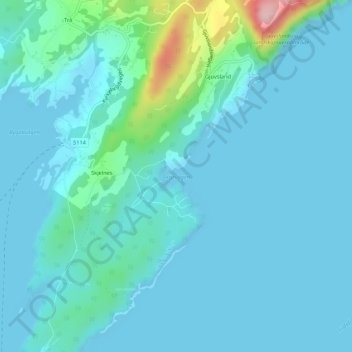
Name: Ferjevågen topographic map, elevation, terrain.
Location: Ferjevågen, Skjelnes, Kvinnherad, Vestland, 5636, Norway (60.08445 5.99060 60.08455 5.99070)
Average elevation: 23 m
Minimum elevation: -2 m
Maximum elevation: 182 m
Thank you for supporting this site ❤️
Make a donation
Make a donation