
Turracher Höhe topographic map
Interactive map
Click on the map to display elevation.
Turracher Höhe
The highest point of the approx. two km long pass summit has an altitude of 1,795 m above sea level south of the Turracher Lake. The lake has a water level of 1,763 m above sea (Adria) level and is connected to the village. The Turracher Höhe, as a "classic" pass summit, is also part of a drainage divide between the Mura valley and the Upper Gurk River, whose source is beneath the Lattersteighöhe at approx. 2,000 m above sea level.
About this map
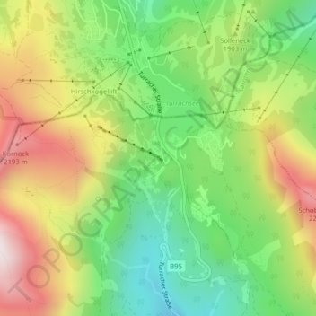
Name: Turracher Höhe topographic map, elevation, terrain.
Average elevation: 1,870 m
Minimum elevation: 1,545 m
Maximum elevation: 2,293 m