
Make a donation
Muzon topographic map
Click on the map to display elevation.
Make a donation
Muzon
The shape of Taytay is rectangular – trapezoidal with gently hilly rolling terrain on its eastern side while relatively flat on its south-western side, including the poblacion. The municipality's highest elevation ranges from 200 to 255 meters which is situated along the inner north-eastern hills of Barangay Dolores, alongside the Antipolo Boundary. Its lowest points are from 5 to 20 meters along the southern portion of Barangay San Juan and Muzon towards Laguna Lake.
Make a donation
About this map
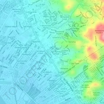
Name: Muzon topographic map, elevation, terrain.
Location: Muzon, Taytay, Rizal, Calabarzon, 1920, Philippines (14.53343 121.13547 14.55844 121.16116)
Average elevation: 28 m
Minimum elevation: -3 m
Maximum elevation: 131 m
Make a donation
Other topographic maps
Click on a map to view its topography, its elevation and its terrain.