
Copley topographic map
Click on the map to display elevation.
About this map
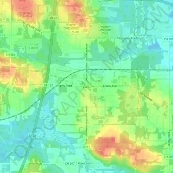
Name: Copley topographic map, elevation, terrain.
Average elevation: 318 m
Minimum elevation: 297 m
Maximum elevation: 350 m
Other topographic maps
Click on a map to view its topography, its elevation and its terrain.
Akron
United States > Ohio > Summit County
Akron is located in the Great Lakes region about 39 miles (63 km) south of Lake Erie, on the Glaciated Allegheny Plateau. It is bordered by Cuyahoga Falls on the north and Barberton in the southwest. It is the center of the Akron metropolitan area which covers Summit and Portage Counties, and a principal city…
Average elevation: 315 m