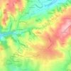
Saint-Étienne topographic map
Click on the map to display elevation.
Saint-Étienne
The climate is temperate at the weather station due to its low altitude, but Saint-Étienne itself is much higher, above 530 m (1,739 ft) in the centre, as well as even above 700 m (2,297 ft) in the southern parts of the city. Saint-Étienne is very close from a warm-summer humid continental climate (Köppen: Dfb); it is generally one of the snowiest cities in France, with an average of 85 cm (2.79 ft) of snow accumulation per year.
About this map
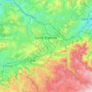
Name: Saint-Étienne topographic map, elevation, terrain.
Average elevation: 669 m
Minimum elevation: 358 m
Maximum elevation: 1,264 m
Other topographic maps
Click on a map to view its topography, its elevation and its terrain.


Valiant
France > Auvergne-Rhône-Alpes > Loire > Saint-Bonnet-des-Quarts > Le Royer
Average elevation: 623 m