
Thank you for supporting this site ❤️
Make a donation
Make a donation
Thuan An Ward topographic map
Click on the map to display elevation.
Thank you for supporting this site ❤️
Make a donation
Make a donation
About this map
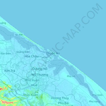
Name: Thuan An Ward topographic map, elevation, terrain.
Location: Thuan An Ward, Thuận An Ward, Huế, Vietnam (16.40037 107.48499 16.72037 107.80499)
Average elevation: 5 m
Minimum elevation: -3 m
Maximum elevation: 353 m
Thank you for supporting this site ❤️
Make a donation
Make a donation