
Mount Hubbard topographic map
Interactive map
Click on the map to display elevation.
About this map
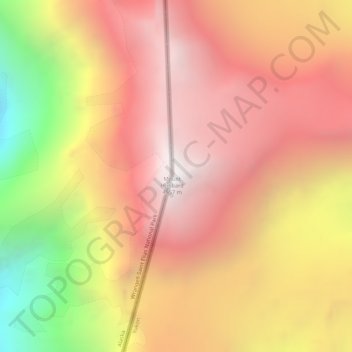
Name: Mount Hubbard topographic map, elevation, terrain.
Location: Mount Hubbard, Yukon, Canada (60.31912 -139.07154 60.31922 -139.07144)
Average elevation: 3,866 m
Minimum elevation: 2,723 m
Maximum elevation: 4,573 m
Other topographic maps
Click on a map to view its topography, its elevation and its terrain.