
Thank you for supporting this site ❤️
Make a donation
Make a donation
Nevado Mismi topographic map
Click on the map to display elevation.
Thank you for supporting this site ❤️
Make a donation
Make a donation
Nevado Mismi
The Upper Amazon expedition (The Flying Expedition) included an Eastern European multi-axled articulated Land Rover for use on land, a float plane Papagaiu, for air support and reconnaissance, and the Peruvian Air Force offered a high elevation helicopter to reach the upper levels of the Chila mountain range in Peru.
Thank you for supporting this site ❤️
Make a donation
Make a donation
About this map
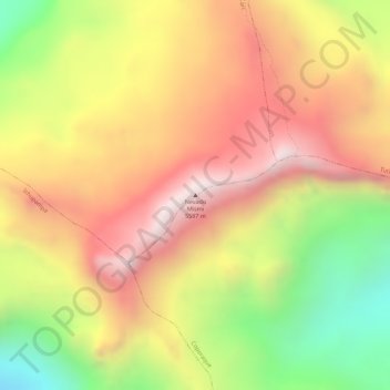
Name: Nevado Mismi topographic map, elevation, terrain.
Location: Nevado Mismi, Lari, Province of Caylloma, Arequipa, Peru (-15.51942 -71.68499 -15.51932 -71.68489)
Average elevation: 5,273 m
Minimum elevation: 4,838 m
Maximum elevation: 5,589 m
Thank you for supporting this site ❤️
Make a donation
Make a donation