
Omar topographic map
Interactive map
Click on the map to display elevation.
About this map
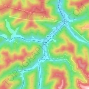
Name: Omar topographic map, elevation, terrain.
Location: Omar, Logan County, West Virginia, 25647, United States (37.73566 -82.01957 37.77566 -81.97957)
Average elevation: 414 m
Minimum elevation: 232 m
Maximum elevation: 650 m