
San Clemente topographic map
Interactive map
Click on the map to display elevation.
About this map
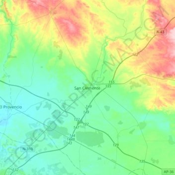
Name: San Clemente topographic map, elevation, terrain.
Location: San Clemente, Cuenca, Castile-La Mancha, 16600, Spain (39.28353 -2.60429 39.52436 -2.27541)
Average elevation: 743 m
Minimum elevation: 693 m
Maximum elevation: 873 m