
Evans topographic map
Interactive map
Click on the map to display elevation.
About this map
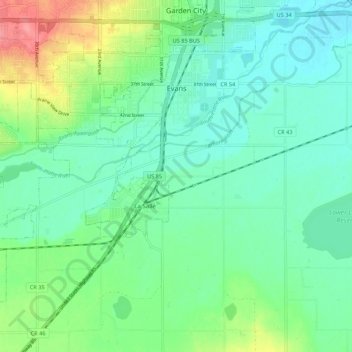
Name: Evans topographic map, elevation, terrain.
Location: Evans, Weld County, Colorado, USA (40.31912 -104.80341 40.39241 -104.67762)
Average elevation: 1,431 m
Minimum elevation: 1,406 m
Maximum elevation: 1,497 m