
Tamenglong topographic map
Interactive map
Click on the map to display elevation.
About this map
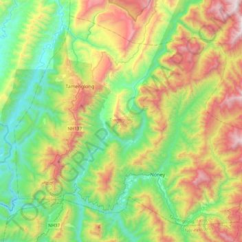
Name: Tamenglong topographic map, elevation, terrain.
Location: Tamenglong, Manipur, 795141, India (24.79044 93.40284 25.08389 93.77526)
Average elevation: 817 m
Minimum elevation: 135 m
Maximum elevation: 2,059 m
Other topographic maps
Click on a map to view its topography, its elevation and its terrain.