
Thank you for supporting this site ❤️
Make a donation
Make a donation
Cerro La Silla topographic map
Click on the map to display elevation.
Thank you for supporting this site ❤️
Make a donation
Make a donation
About this map
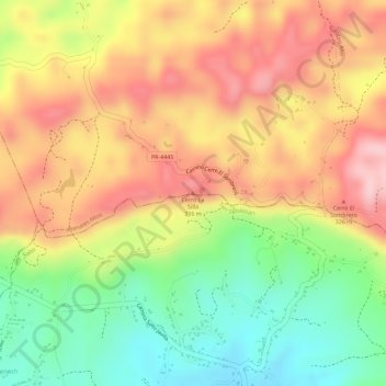
Name: Cerro La Silla topographic map, elevation, terrain.
Location: Cerro La Silla, Isabela, Puerto Rico, United States (18.39517 -67.01578 18.39527 -67.01568)
Average elevation: 222 m
Minimum elevation: 102 m
Maximum elevation: 321 m
Thank you for supporting this site ❤️
Make a donation
Make a donation