
Ciudad Lineal topographic map
Click on the map to display elevation.
About this map
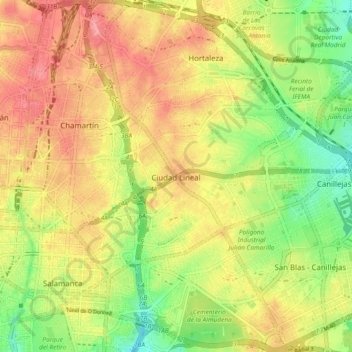
Name: Ciudad Lineal topographic map, elevation, terrain.
Location: Ciudad Lineal, Madrid, Community of Madrid, Spain (40.41306 -3.67440 40.48418 -3.62037)
Average elevation: 690 m
Minimum elevation: 622 m
Maximum elevation: 756 m