
Thank you for supporting this site ❤️
Make a donation
Make a donation
Chêne-Bougeries topographic map
Click on the map to display elevation.
Thank you for supporting this site ❤️
Make a donation
Make a donation
About this map
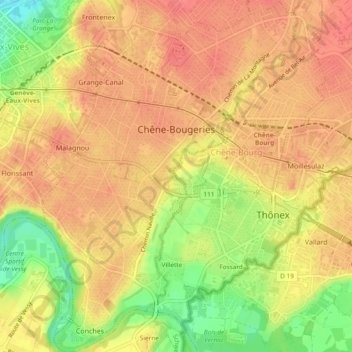
Name: Chêne-Bougeries topographic map, elevation, terrain.
Location: Chêne-Bougeries, Geneva, Switzerland (46.17567 6.16737 46.20832 6.20200)
Average elevation: 416 m
Minimum elevation: 374 m
Maximum elevation: 436 m
Thank you for supporting this site ❤️
Make a donation
Make a donation
Other topographic maps
Click on a map to view its topography, its elevation and its terrain.
Thank you for supporting this site ❤️
Make a donation
Make a donation
Le Grand-Saconnex
Switzerland > Geneva > Le Grand-Saconnex > Le Grand-Saconnex
Average elevation: 414 m
Thank you for supporting this site ❤️
Make a donation
Make a donation