
Petawawa topographic map
Click on the map to display elevation.
About this map
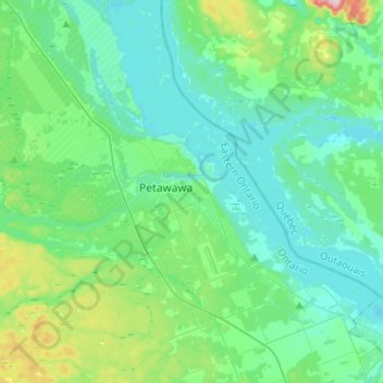
Name: Petawawa topographic map, elevation, terrain.
Location: Petawawa, Renfrew County, Eastern Ontario, Ontario, Canada (45.80952 -77.42295 45.98327 -77.16524)
Average elevation: 152 m
Minimum elevation: 106 m
Maximum elevation: 342 m