
Cromarty topographic map
Click on the map to display elevation.
About this map
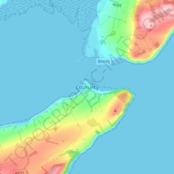
Name: Cromarty topographic map, elevation, terrain.
Location: Cromarty, Highland, Scotland, IV11 8UZ, United Kingdom (57.64079 -4.07465 57.72079 -3.99465)
Average elevation: 35 m
Minimum elevation: -2 m
Maximum elevation: 202 m