
Placer County topographic map
Interactive map
Click on the map to display elevation.
About this map
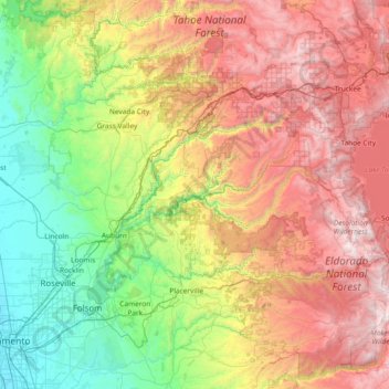
Name: Placer County topographic map, elevation, terrain.
Location: Placer County, California, United States (38.71121 -121.48447 39.31657 -120.00248)
Average elevation: 1,074 m
Minimum elevation: 2 m
Maximum elevation: 2,995 m