
Make a donation
Mount Galunggung topographic map
Click on the map to display elevation.
Make a donation
Mount Galunggung
One plane—British Airways Flight 009, carrying 248 passengers and 15 crew traveling from Kuala Lumpur, Malaysia, to Perth, Australia, on June 24, 1982—accidentally entered the ash cloud at night, about 150 km (93 mi; 81 nmi) downwind of the volcano. All four engines failed due to the build-up of volcanic ash, and the aircraft descended for 16 minutes, losing 7,500 m (24,606 ft) of its 11,500 m (37,730 ft) altitude, until the crew managed to restart the engines and land in Jakarta.
Make a donation
About this map
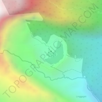
Name: Mount Galunggung topographic map, elevation, terrain.
Location: Mount Galunggung, Tasikmalaya, Java, Indonesia (-7.25620 108.07604 -7.25610 108.07614)
Average elevation: 1,286 m
Minimum elevation: 780 m
Maximum elevation: 2,076 m
Make a donation