
Thank you for supporting this site ❤️
Make a donation
Make a donation
Nardò topographic map
Click on the map to display elevation.
Thank you for supporting this site ❤️
Make a donation
Make a donation
About this map
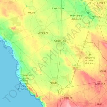
Name: Nardò topographic map, elevation, terrain.
Location: Nardò, Lecce, Apulia, 73048, Italy (40.12125 17.79203 40.36287 18.08635)
Average elevation: 40 m
Minimum elevation: -2 m
Maximum elevation: 102 m
Thank you for supporting this site ❤️
Make a donation
Make a donation
Other topographic maps
Click on a map to view its topography, its elevation and its terrain.