
Plaine Gare topographic map
Interactive map
Click on the map to display elevation.
About this map
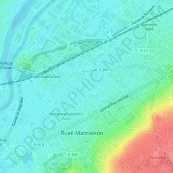
Name: Plaine Gare topographic map, elevation, terrain.
Average elevation: 40 m
Minimum elevation: 22 m
Maximum elevation: 101 m
Other topographic maps
Click on a map to view its topography, its elevation and its terrain.
Bords de Seine
France > Ile-de-France > Rueil-Malmaison
Bords de Seine, Rueil-Malmaison, Arrondissement of Nanterre, Hauts-de-Seine, Ile-de-France, Metropolitan France, 92500, France
Average elevation: 47 m