
Thank you for supporting this site ❤️
Make a donation
Make a donation
Westfield Center topographic map
Click on the map to display elevation.
Thank you for supporting this site ❤️
Make a donation
Make a donation
About this map
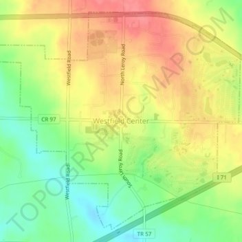
Name: Westfield Center topographic map, elevation, terrain.
Location: Westfield Center, Medina County, Ohio, 44251, United States (41.01407 -81.95225 41.03937 -81.91499)
Average elevation: 328 m
Minimum elevation: 292 m
Maximum elevation: 361 m
Thank you for supporting this site ❤️
Make a donation
Make a donation