
Thank you for supporting this site ❤️
Make a donation
Make a donation
Narbonne topographic map
Click on the map to display elevation.
Thank you for supporting this site ❤️
Make a donation
Make a donation
About this map
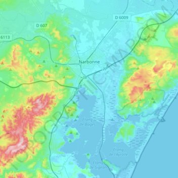
Name: Narbonne topographic map, elevation, terrain.
Location: Narbonne, Aude, Occitania, Metropolitan France, 11100, France (43.06122 2.88233 43.23769 3.18499)
Average elevation: 45 m
Minimum elevation: -5 m
Maximum elevation: 286 m
Thank you for supporting this site ❤️
Make a donation
Make a donation