
Pokaran Tehsil topographic map
Click on the map to display elevation.
About this map
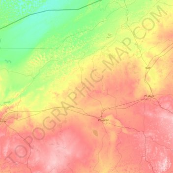
Name: Pokaran Tehsil topographic map, elevation, terrain.
Location: Pokaran Tehsil, Jaisalmer District, Rajasthan, India (26.45770 71.37470 27.95974 72.33768)
Average elevation: 206 m
Minimum elevation: 102 m
Maximum elevation: 359 m
Other topographic maps
Click on a map to view its topography, its elevation and its terrain.
Mount Abu
India > Rajasthan > Abu Road Tehsil
Mount Abu town, the only hill station in Rajasthan, is at an elevation of 1,220 m (4,003 ft). It has been a popular retreat from the heat of Rajasthan and neighboring Gujarat for centuries.
Average elevation: 914 m