
Thank you for supporting this site ❤️
Make a donation
Make a donation
Tumbes topographic map
Click on the map to display elevation.
Thank you for supporting this site ❤️
Make a donation
Make a donation
About this map
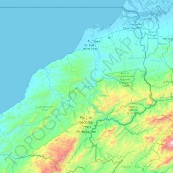
Name: Tumbes topographic map, elevation, terrain.
Location: Tumbes, Peru (-4.23190 -81.04392 -3.39226 -80.12640)
Average elevation: 258 m
Minimum elevation: -4 m
Maximum elevation: 2,011 m
Thank you for supporting this site ❤️
Make a donation
Make a donation