
Gouvy topographic map
Click on the map to display elevation.
About this map
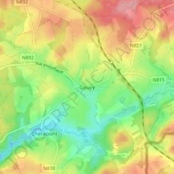
Name: Gouvy topographic map, elevation, terrain.
Location: Gouvy, Bastogne, Luxembourg, Wallonia, Belgium (50.16574 5.92280 50.20574 5.96280)
Average elevation: 469 m
Minimum elevation: 416 m
Maximum elevation: 529 m