
Thank you for supporting this site ❤️
Make a donation
Make a donation
Varbergs kommun topographic map
Click on the map to display elevation.
Thank you for supporting this site ❤️
Make a donation
Make a donation
About this map
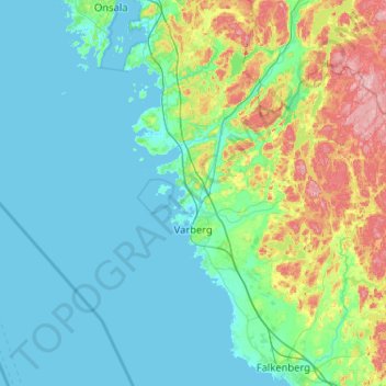
Name: Varbergs kommun topographic map, elevation, terrain.
Location: Varbergs kommun, Halland County, Sweden (56.96491 11.73185 57.35159 12.76368)
Average elevation: 35 m
Minimum elevation: -1 m
Maximum elevation: 209 m
Thank you for supporting this site ❤️
Make a donation
Make a donation