
Dysart topographic map
Click on the map to display elevation.
About this map
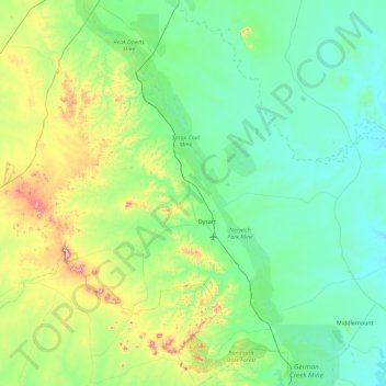
Name: Dysart topographic map, elevation, terrain.
Location: Dysart, Isaac Regional, Queensland, 4745, Australia (-22.94984 147.94398 -22.10136 148.71510)
Average elevation: 253 m
Minimum elevation: 129 m
Maximum elevation: 778 m
Other topographic maps
Click on a map to view its topography, its elevation and its terrain.