
Adams Square topographic map
Click on the map to display elevation.
About this map
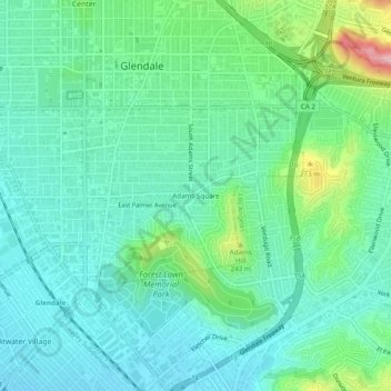
Name: Adams Square topographic map, elevation, terrain.
Location: Adams Square, Glendale, California, 91205, United States (34.11362 -118.26119 34.15362 -118.22119)
Average elevation: 168 m
Minimum elevation: 116 m
Maximum elevation: 336 m