
Hondagua topographic map
Click on the map to display elevation.
About this map
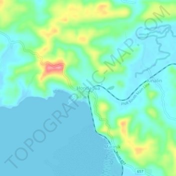
Name: Hondagua topographic map, elevation, terrain.
Location: Hondagua, Lopez, Quezon, Calabarzon, Philippines (13.92721 122.22342 13.96721 122.26342)
Average elevation: 22 m
Minimum elevation: -3 m
Maximum elevation: 101 m