
Thank you for supporting this site ❤️
Make a donation
Make a donation
Zion topographic map
Click on the map to display elevation.
Thank you for supporting this site ❤️
Make a donation
Make a donation
About this map
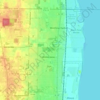
Name: Zion topographic map, elevation, terrain.
Location: Zion, Lake County, Illinois, 60099, United States (42.43068 -87.89814 42.49394 -87.79670)
Average elevation: 198 m
Minimum elevation: 173 m
Maximum elevation: 247 m
Thank you for supporting this site ❤️
Make a donation
Make a donation