
Trenton topographic map
Interactive map
Click on the map to display elevation.
About this map
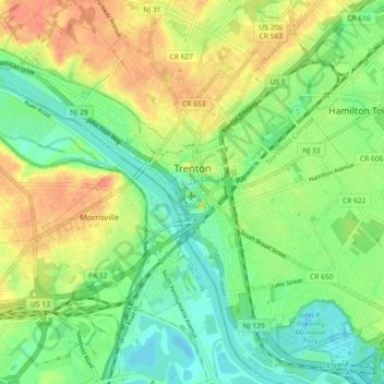
Name: Trenton topographic map, elevation, terrain.
Location: Trenton, Mercer County, New Jersey, United States (40.18383 -74.81958 40.24830 -74.72890)
Average elevation: 19 m
Minimum elevation: -1 m
Maximum elevation: 44 m