
Sorong topographic map
Interactive map
Click on the map to display elevation.
About this map
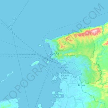
Name: Sorong topographic map, elevation, terrain.
Location: Sorong, West Papua, Indonesia (-1.02341 131.09448 -0.70341 131.41448)
Average elevation: 26 m
Minimum elevation: -2 m
Maximum elevation: 419 m