
Thank you for supporting this site ❤️
Make a donation
Make a donation
静岭 topographic map
Click on the map to display elevation.
Thank you for supporting this site ❤️
Make a donation
Make a donation
About this map
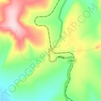
Name: 静岭 topographic map, elevation, terrain.
Location: 静岭, 金河镇, 根河市, 呼伦贝尔市, 内蒙古自治区, 中国 (51.01035 121.26612 51.05035 121.30612)
Average elevation: 1,061 m
Minimum elevation: 936 m
Maximum elevation: 1,241 m
Thank you for supporting this site ❤️
Make a donation
Make a donation