
Thank you for supporting this site ❤️
Make a donation
Make a donation
Rock Quarry topographic map
Click on the map to display elevation.
Thank you for supporting this site ❤️
Make a donation
Make a donation
About this map
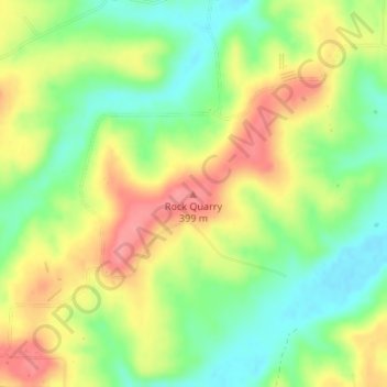
Name: Rock Quarry topographic map, elevation, terrain.
Location: Rock Quarry, Carroll County, Arkansas, United States (36.35669 -93.35384 36.35679 -93.35374)
Average elevation: 360 m
Minimum elevation: 322 m
Maximum elevation: 401 m
Thank you for supporting this site ❤️
Make a donation
Make a donation