
Thank you for supporting this site ❤️
Make a donation
Make a donation
Nieuwerkerk topographic map
Click on the map to display elevation.
Thank you for supporting this site ❤️
Make a donation
Make a donation
About this map
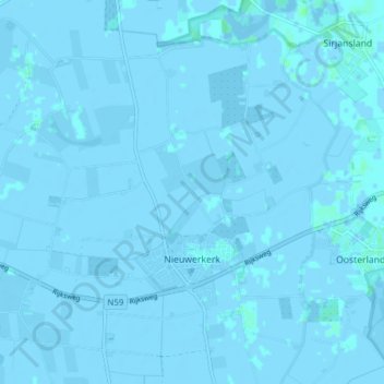
Name: Nieuwerkerk topographic map, elevation, terrain.
Location: Nieuwerkerk, Schouwen-Duiveland, Zeeland, Netherlands (51.63722 3.95301 51.67781 4.03006)
Average elevation: -1 m
Minimum elevation: -4 m
Maximum elevation: 4 m
Thank you for supporting this site ❤️
Make a donation
Make a donation
Other topographic maps
Click on a map to view its topography, its elevation and its terrain.