
Thank you for supporting this site ❤️
Make a donation
Make a donation
Deux-Sèvres topographic map
Click on the map to display elevation.
Thank you for supporting this site ❤️
Make a donation
Make a donation
About this map
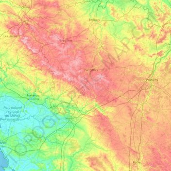
Name: Deux-Sèvres topographic map, elevation, terrain.
Location: Deux-Sèvres, Nouvelle-Aquitaine, Metropolitan France, France (45.96967 -0.90348 47.10840 0.22037)
Average elevation: 104 m
Minimum elevation: -1 m
Maximum elevation: 281 m
Thank you for supporting this site ❤️
Make a donation
Make a donation