
Thank you for supporting this site ❤️
Make a donation
Make a donation
Dinahican topographic map
Click on the map to display elevation.
Thank you for supporting this site ❤️
Make a donation
Make a donation
About this map
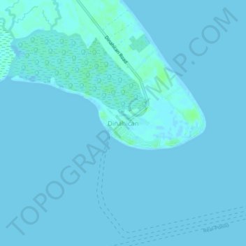
Name: Dinahican topographic map, elevation, terrain.
Location: Dinahican, Infanta, Quezon, Calabarzon, Philippines (14.67488 121.70020 14.71488 121.74020)
Average elevation: 1 m
Minimum elevation: -1 m
Maximum elevation: 6 m
Thank you for supporting this site ❤️
Make a donation
Make a donation
Other topographic maps
Click on a map to view its topography, its elevation and its terrain.