
Thank you for supporting this site ❤️
Make a donation
Make a donation
Ivindo topographic map
Click on the map to display elevation.
Thank you for supporting this site ❤️
Make a donation
Make a donation
About this map
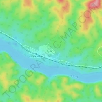
Name: Ivindo topographic map, elevation, terrain.
Location: Ivindo, Ogooué-Ivindo, Gabon (-0.21522 12.18203 -0.17522 12.22203)
Average elevation: 225 m
Minimum elevation: 180 m
Maximum elevation: 316 m
Thank you for supporting this site ❤️
Make a donation
Make a donation