
Thank you for supporting this site ❤️
Make a donation
Make a donation
Neuwied topographic map
Click on the map to display elevation.
Thank you for supporting this site ❤️
Make a donation
Make a donation
About this map
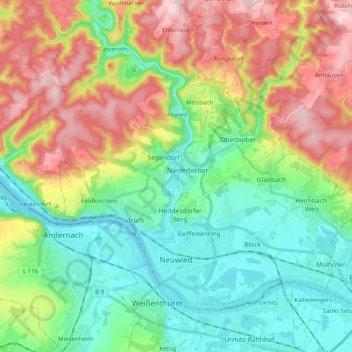
Name: Neuwied topographic map, elevation, terrain.
Location: Neuwied, Landkreis Neuwied, Rhineland-Palatinate, Germany (50.41180 7.38340 50.50910 7.58326)
Average elevation: 172 m
Minimum elevation: 53 m
Maximum elevation: 381 m
Thank you for supporting this site ❤️
Make a donation
Make a donation