
Thank you for supporting this site ❤️
Make a donation
Make a donation
柯达 topographic map
Click on the map to display elevation.
Thank you for supporting this site ❤️
Make a donation
Make a donation
About this map
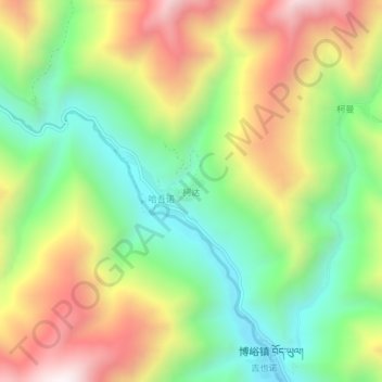
Name: 柯达 topographic map, elevation, terrain.
Location: 柯达, 博峪镇, 舟曲县, 甘南藏族自治州, 甘肃省, 746300, 中国 (33.41339 104.37310 33.45339 104.41310)
Average elevation: 2,365 m
Minimum elevation: 1,908 m
Maximum elevation: 2,977 m
Thank you for supporting this site ❤️
Make a donation
Make a donation