
Churachandpur topographic map
Interactive map
Click on the map to display elevation.
About this map
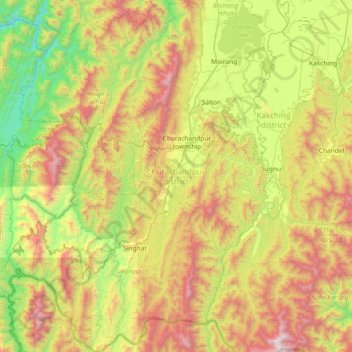
Name: Churachandpur topographic map, elevation, terrain.
Location: Churachandpur, Manipur, 795128, India (23.94627 93.34845 24.61605 93.88080)
Average elevation: 955 m
Minimum elevation: 125 m
Maximum elevation: 2,332 m
Other topographic maps
Click on a map to view its topography, its elevation and its terrain.