
Fraser topographic map
Interactive map
Click on the map to display elevation.
About this map
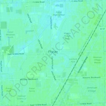
Name: Fraser topographic map, elevation, terrain.
Location: Fraser, Macomb County, Michigan, 48026, USA (42.52362 -82.97023 42.55402 -82.92908)
Average elevation: 188 m
Minimum elevation: 184 m
Maximum elevation: 190 m