
Province of Castilla topographic map
Interactive map
Click on the map to display elevation.
About this map
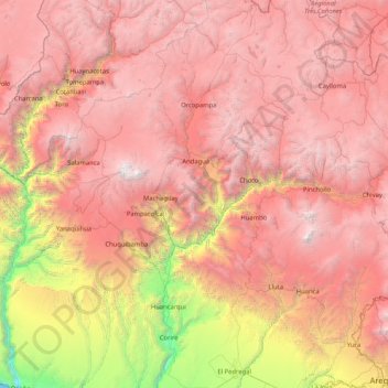
Name: Province of Castilla topographic map, elevation, terrain.
Location: Province of Castilla, Arequipa, Peru (-16.43048 -72.72352 -14.83733 -71.90141)
Average elevation: 3,471 m
Minimum elevation: 0 m
Maximum elevation: 6,363 m
Other topographic maps
Click on a map to view its topography, its elevation and its terrain.