
Big Bend topographic map
Interactive map
Click on the map to display elevation.
About this map
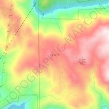
Name: Big Bend topographic map, elevation, terrain.
Location: Big Bend, Butte County, California, USA (39.67822 -121.48080 39.71822 -121.44080)
Average elevation: 574 m
Minimum elevation: 232 m
Maximum elevation: 840 m